Justin Lichter is an avid adventurer who has hiked over 35,000 miles since 2002. His expeditions include hiking the Appalachian Trail, Pacific Crest Trail, Continental Divide Trail, across Iceland, over 2,100 miles across the Himalayas, and 1,800 miles in Africa. His most recent adventure took him to Copper Canyon in Mexico where he collected data for ASC. For more information you can view his website at www.justinlichter.com.
Rock hopping in the bottom of the canyon. Photo by Cam Honan.
From Justin:
After three and a half weeks and roughly 400 miles of hiking through remote canyons in northern Mexico, we were three days from the end of the hike. The goal was to link all six of the major canyons in a traverse of the Copper Canyon region. On high alert we descended into the Sinforosa Canyon, one of the deepest and most scenic of the entire region. Throughout the trip we had been stumbling upon drug fields on virtually all of the farmable land, though I wouldn’t consider the terrain remotely farmable. With miles of rocky soil and 30-50% slopes without roads you wouldn’t think anyone would bother growing anything, but that’s exactly what they are doing. As we come upon these fields we start hollering “Hola! Buenos dias!” repeatedly so we don’t surprise anybody.
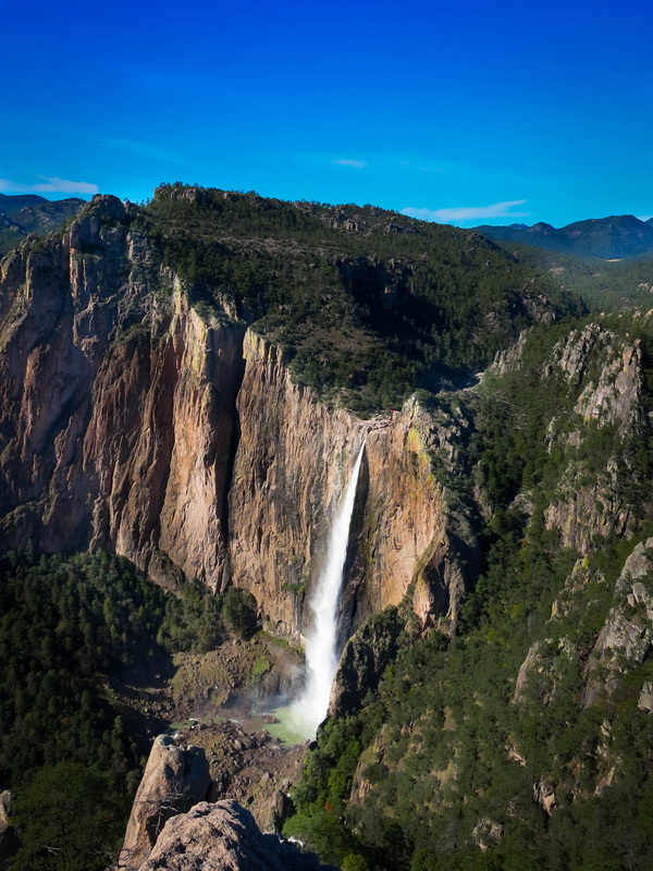
Basaseachi Falls, the second largest in Mexico. Photo by Justin Lichter.
Gregg and I met years ago through Granite Gear as we were both adventuring around the world. I loved his idea for ASC when I initially heard about it. On my next hike across the Himalayas, he linked me up with a couple of scientists and I collected data for a few projects including one about pika and climate change. I was excited to help out again on this trip since I was traversing another remote and largely inaccessible region. For the Copper Canyon Traverse I was set up with Professor John Spear of the Colorado School of Mines. I collected soil and rock samples in order to look at the DNA of the microbes that are living on these samples taken from throughout the region. The rock sizes were relatively small and only had to be the size of a quarter, so the sampling hardly added to my pack weight! I travel fast and light, and try to cover large distances each day so that is always important to me.
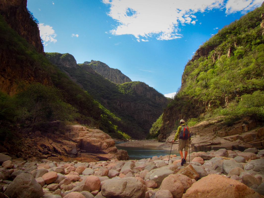
Getting ready to jord the Urique River. Photo by Cam Honan.
Without any altercations, we cautiously skirted the drug farms and descended deeper and deeper into the canyon. To get to the river we had to drop 6,000 vertical feet into the canyon, which is even deeper than the Grand Canyon. It is beautiful here. The rock walls rise steeply above us and reflect the redness of the setting sun. This is a prime place to hike, protect, and take in the beauty for any outdoor lover, naturalist, or conservationist, if only the dangers of the drug trade and the drug cartels weren’t present.
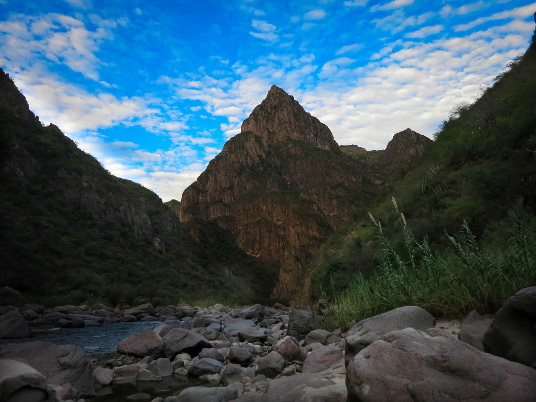
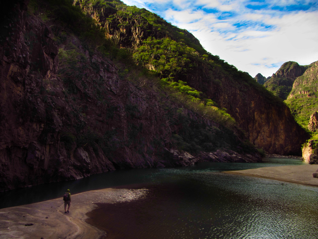
Dusk along the Urique River. Photo by Justin Lichter.
I really enjoyed the added benefits of getting the samples while on the hike. It would be very difficult for others to access the areas that we were in without the added dangers of the drug trade so it was especially rewarding to provide researchers with such unique data. Since I have always been interested in geology this study was right up my alley. It is interesting to think about what is growing on the rocks at a microscopic level. It is great to help out and provide samples for scientific research while I am out having fun and exploring new places.
Keep up with ASC by subscribing to ASC’s blog, liking us on Facebook and following us on Twitter (@AdventurScience), Instagram (@AdventureScience) and Google+.