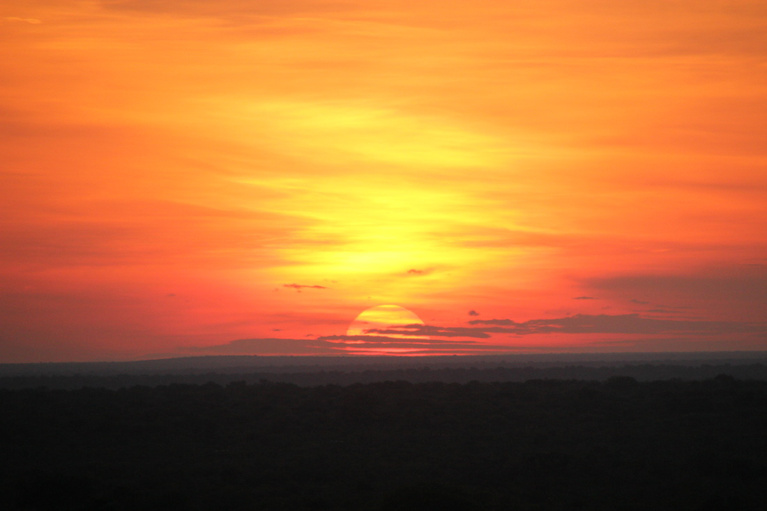
On August 12, ASC Executive Director Gregg Treinish heads to the Okavango Delta, Botswana to scout a potential ASC project in the newest UNESCO World Heritage Site.
|
Also on the expedition will be three other National Geographic Explorers: expedition leader Dr. Steve Boyes, a native of South Africa who spent the last 12 years studying the Okavango; satellite engineer Shah Selbe who built the research platforms; and Jer Thorp, co-founder of the Office for Creative Research, who created the expedition’s multi-media website.
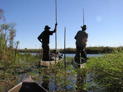
Traveling in dugout mokoro canoes with local baYei tribesmen, the expedition team will record wildlife data and establish research platforms to record environmental conditions. If ASC determines we can operate safely in the Okavango, our volunteers will collect data for Dr. Boyes and his team at the Okavango Wilderness Project, who will use it to ensure the area is protected for years to come. “We believe there’s a huge opportunity to go beyond the UNESCO paper protection,” Gregg said. “We will monitor the delta’s fragile ecosystem from the front lines.” |
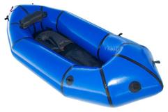
Win an Alpacka Raft!
Donate $50 or more before Gregg’s return on August 27, and you could win an Alpacka Raft. Contributions go directly toward wildlife research platforms. Let’s raise $5,000! |
Q&A with Gregg
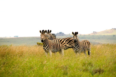
GT: Botswana, to me, is an incredibly pristine wilderness that I worry I won’t be able to see in 10 years if something isn’t done. Since I was a little kid, lions, hippos, crocodiles, hyenas and elephants have captured my imagination. To see them all in a natural unchanged unmanaged ecosystem is a lifelong dream.
EW: How will this trip be different?
GT: Last year I scouted a totally different project and saw a different type of conservation—one that’s managed, with electrified fences keeping wildlife in. In a lot of ways, it’s the polar opposite of what I’ll experience in the Okavango.
GT: We’ll be recording wildlife sightings on Google Nexus 7 tablets, which will be available in real-time on the website. The research platforms we set up will record video and audio, as well as other environmental conditions. Through sonograms, we’ll measure subtle changes in amphibian life over time, which is important because amphibian sounds are the first things that will change as an ecosystem changes.
EW: Why the Okavango?
GT: At ASC, the projects we take on must have the potential for a strong conservation outcome. Because the Okavango is now a World Heritage Site, there’s legislation we can leverage to ensure upstream influences like mining, agriculture and tourism aren’t having detrimental effects.
Additionally, we want to use the delta as the foundation of a larger area that, when complete, would be the first ever tri-nation World Heritage Site that would extend into Namibia and Angola.
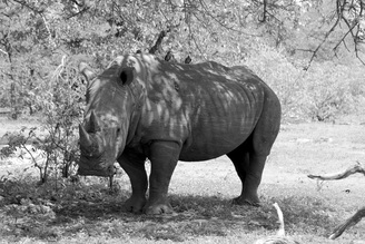
Rhinoceros, Botswana (Photo by Gregg Treinish)
|
#Okavango14
Follow the expedition live through this blog, intotheokavango.org, and through ASC’s Facebook, Twitter and Instagram feeds. You’ll be able to watch Gregg and Steve’s heart rate monitors when they see a hippo or crocodile, and count wildlife with the crew as they travel. |
GT: I’ve seen termite mounds that are 20 feet tall! They start that way and grow over time as debris and sediment moves through the delta with floodwaters coming down from the Angolan highlands. There are over 10,000 islands in the delta.
EW: I’ve read the water level and size of the delta change drastically. Which season will you be there?
GT: It swells from 9,000 square miles to 13,500—it’s quite phenomenal how these floodwaters expand the range. It’s a little counter-intuitive, because the floodwaters arrive across the delta at the start of the dry season in May, June and July. This is because the river rises so far away in the highlands of Angola 500 kilometers to the northwest, and it takes months for it to filter slowly downstream and across the delta.
EW: Where do the animals go during this time?
GT: Early in the dry season, they come from all around northern Botswana to the delta, because everything else will have dried up. It’s the best time for wildlife viewing.
 Mokoros (CC)
GT: Anyone can go to parts of the Okavango Delta. The parts we’re going to visit are very remote, and it’s likely that only the people who will be on our expedition have been there.
EW: Are you scared about carnivores?
GT: While I’ve had really close encounters with grizzly bears and other wildlife, I’ve never been in an ecosystem with dozens of things that can potentially be dangerous. That does scare me.
EW: Steve has experience, right?
GT: Yes, and we’ll be with four local baYei tribesmen.
EW: How will you get around?
GT: I’ll be poling, which means standing up in the back of the mokoro and pushing along the bottom of the ground. You do that so you can see up over the reeds and to see wildlife coming from all directions.
EW: So if you go in, the guy you’re with goes in, too?
GT: If we flip, yes. The mokoros are pretty unstable – they’re 16 feet long, and only 2 feet wide. There is no going in. It’s not an option.
EW: Why?
GT: Because crocodiles will eat you.