Adventure Scientists

  • Home
    • About Us >
      • Mission and Values >
        • EIJ Resources
      • Annual Reports and Financials
      • Contact
    • Our Team >
      • Staff
      • Board and Advisors
      • Science Advisory Board
      • Join our Team
      • Our Partners
    • Press >
      • COVID-19 Updates
      • Films
      • Writing
      • Audio
  • For Scientists
    • Our Services >
      • Project Design & Feasibility
      • Project Build
      • Volunteer Recruiting & Screening
      • Full Project Management
    • Scientific Partners
    • Project Reports and Scientific Publications
    • Access Data Sets
  • For Adventurers
    • Volunteer Basics
    • Current Projects >
      • Wildlife Connectivity
      • Timber Tracking
      • Wild and Scenic Rivers
  • Our Impact
    • Past Projects
  • Blog
  • Donate

Welcome to Field Notes

Map Skills Saved My Expedition From Being Thwarted by Fire

8/20/2018

 
Picture
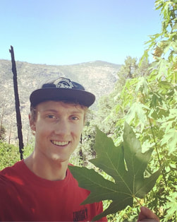
Ian Mahaffey with a bigleaf maple leaf. Photo Credit: Ian Mahaffey
By Ian Mahaffey

There’s something you should know about me before we get started: I'm kind of a map nerd. I took multiple GIS courses in college and fawn over the artistic work of James Niehues in a way more closely resembling a Justin Bieber fan than an art aficionado. So when it came to picking sample locations for the Timber Tracking Project, I approached it with just as much enthusiasm as the part where I actually got to go outside.


Each volunteer was given a zone they were responsible for, and each zone came with its own required number of samples. I was assigned Zone 51, which required 15 samples. It spanned most of Yosemite National Park, as well as portions of Stanislaus and Sierra National Forests.

I saw the task of point selection as a fun geospatial puzzle, combining the elements of habitat, accessibility, permit availability, and a minimum distance of 5 miles between samples to come up with high quality data points. Adventure Scientists provided us with two apps to aid in our point selection. Magpi+ was used to collect all of the data we needed in the field, and Gaia GPS was used to mark waypoints and to easily determine if we were on public land. Together these two apps turned my cell phone into a powerful data collection computer.

​My first trip was successful, despite not gathering quite as many samples as I had hoped. I finished that trip confident that my next trip, planned for the first weekend of August, would be smooth sailing. Unfortunately, Mother Nature had other plans for the Sierra.

Picture
Stanislaus National Forest recovering from damage sustained in the Rim Fire in 2013. Photo Credit: Ian Mahaffey
The Ferguson Fire began in July on (of all days) Friday the 13th, only a few days after I exited the field. By the time I was able to get back into the field three weeks later on Saturday, August 4th, the fire was only 35% contained and all three western entrances to Yosemite had been closed until further notice.

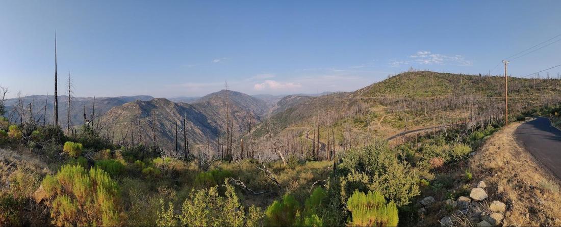
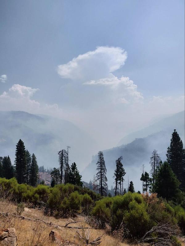
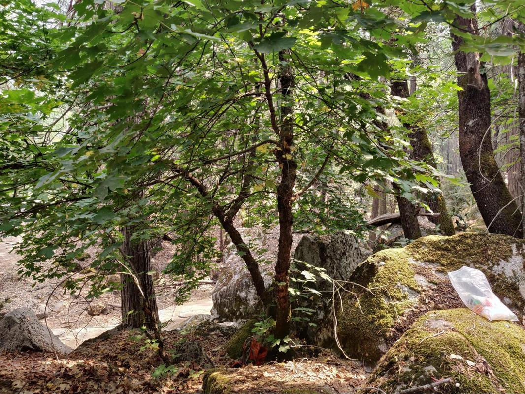
In California, bigleaf maple habitat usually occurs between 1000 and 6000 feet in elevation, and near rivers or in canyons. This perfectly described the terrain west of Yosemite that the Ferguson fire was consuming. When I contacted Joanna Clines, Forest Botanist for Sierra National Forest, asking where I should go to complete the project, she admitted to me that the bigleaf maple sites she had been planning on telling me about were no longer accessible due to the forest closures.

This geospatial puzzle was quickly becoming a Rubik’s cube beyond my ability.

I decided to head south of Yosemite to the east side of Highway 41. Constrained by a forecast of poor air quality and the closure of the forest west of the highway, I hoped I would be able to achieve a modest goal of two samples from that area to bring my grand total up to four.

I camped out in my car Saturday night to avoid the smoky air and woke up early Sunday morning to commence my investigation. Despite searching 10 miles of Highway 41 and over 7 miles of Forest Service roads, I left the field empty-handed, unable to find a single maple.

After returning home I began planning my last collection trip. With no signs of the maples east of Highway 41, and Yosemite Valley and Highway 140 closed, I was going to have to rely heavily on the remaining terrain along Highway 120. I found four sites along Highway 120 in addition to the two I already had. By cheating the five mile buffer, I could squeeze out two additional sites, bringing me to a total of six sites to visit.

It was going to take a miracle to reach ten high quality samples, let alone fifteen.​
Picture
Smoke filling Yosemite Valley. Photo Credit: Ian Mahaffey
Luckily for me, CalFire and the U.S. Forest Service employ miracle workers by the thousands. Two days after my empty-handed trip, the Highway 120 entrance into Yosemite opened, followed by an announcement that the Highway 140 entrance and Yosemite Valley would be open the following Tuesday.

With this information, I was able to devise a new plan consisting of thirteen possible sites to visit over the course of a three day trip that snaked between Yosemite and the National Forests. My first three points yielded great samples, and I began feeling like I would reach fifteen samples in no time. My fourth site turned out to be unproductive, but not all hope was lost. I had downloaded each of my planning maps into Gaia GPS, and combined with Google Earth I was able to make adjustments to my search on the fly without even having to leave the field.

Over the course of that trip I covered an area of 450 square miles, bagging ten samples for a total of twelve samples contributed to the project.
Picture
Site photo of a sample near Mirror Lake in Yosemite. Photo Credit: Ian Mahaffey ​
 ​While I am disappointed I wasn’t able to reach the goal of fifteen samples, I know that I gave it my best shot under the circumstances. Each day consisted of driving, hiking, sampling, and camping in 95-degree heat and smoky air, but if it was supposed to be miserable, I didn’t notice. The Sierra are “la mia oasi di pace,” my Oasis of Peace. Any moment I get to spend living and learning in those mountains is a moment well spent. My enthusiasm for maps certainly helped me navigate some tricky conditions in the field, but when it comes down to it, I wanted to be out there to help protect the mountains I love.

In that case, I suppose you could call me a nature nerd, too.

Data collected July and August 2018 in Zone 51 for the Timber Tracking Project

​I’m so glad I was able to lend a hand to Adventure Scientists in their mission of data collection and conservation. I also want to give a huge Thank You to the nearly 3,000 personnel who worked on the Ferguson Fire, as well as wildland firefighters across California and the West fighting equally dangerous and damaging fires of all sizes this summer.

For more photos from Ian’s Timber Tracking Project trips, check him out on Instagram @MrMahaff.

Comments are closed.

    Read the Landmark Notes blog:

    Picture

    Archives

    January 2021
    November 2020
    October 2020
    July 2020
    June 2020
    May 2020
    November 2019
    October 2019
    September 2019
    July 2019
    May 2019
    April 2019
    December 2018
    November 2018
    October 2018
    September 2018
    August 2018
    June 2018
    April 2018
    March 2018
    December 2017
    November 2017
    August 2017
    July 2017
    June 2017
    May 2017
    April 2017
    March 2017
    February 2017
    January 2017
    December 2016
    November 2016
    October 2016
    September 2016
    August 2016
    June 2016
    May 2016
    April 2016
    March 2016
    February 2016
    January 2016
    December 2015
    November 2015
    October 2015
    September 2015
    August 2015
    July 2015
    June 2015
    May 2015
    April 2015
    March 2015
    February 2015
    January 2015
    December 2014
    November 2014
    October 2014
    September 2014
    August 2014
    July 2014
    June 2014
    May 2014
    April 2014
    March 2014
    February 2014
    January 2014
    December 2013
    November 2013
    October 2013
    September 2013
    August 2013
    July 2013
    June 2013
    May 2013
    April 2013
    March 2013
    February 2013
    January 2013
    December 2012
    November 2012
    October 2012
    September 2012
    August 2012
    July 2012
    June 2012
    May 2012
    April 2012
    March 2012
    February 2012
    January 2012
    December 2011
    November 2011
    October 2011
    September 2011
    August 2011
    July 2011
    June 2011

Donate Now
STAY IN TOUCH
Picture
Adventure Scientists®
​PO Box 1834, Bozeman, MT 59771
406.624.3320 info@adventurescientists.org