
A volunteer on skis can find what the Forest Service can’t easily reach. Here’s how ski tourers and splitboarders are closing the whitebark pine data gap.
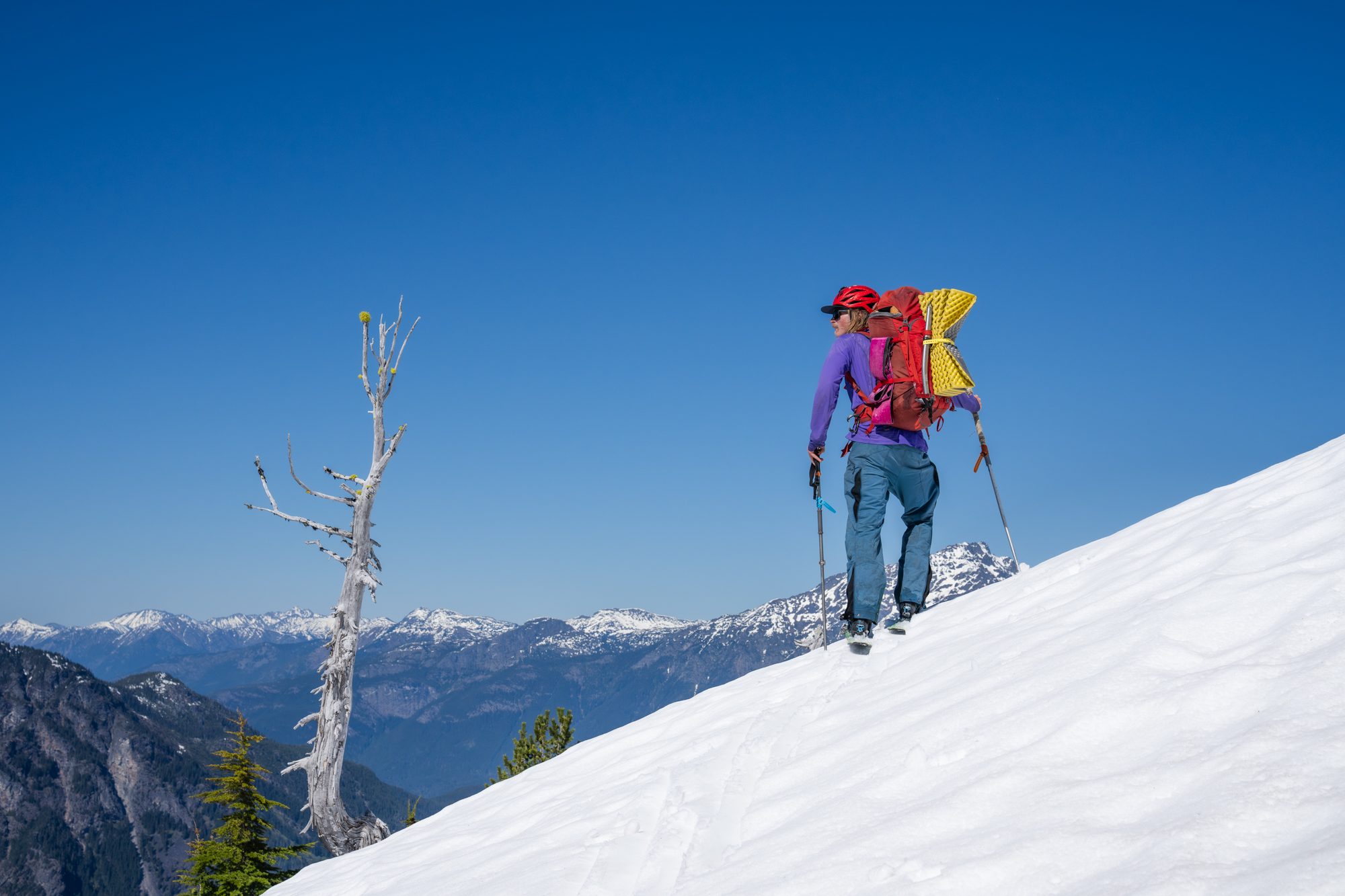
USFS knows where to go because a volunteer on skis told them.
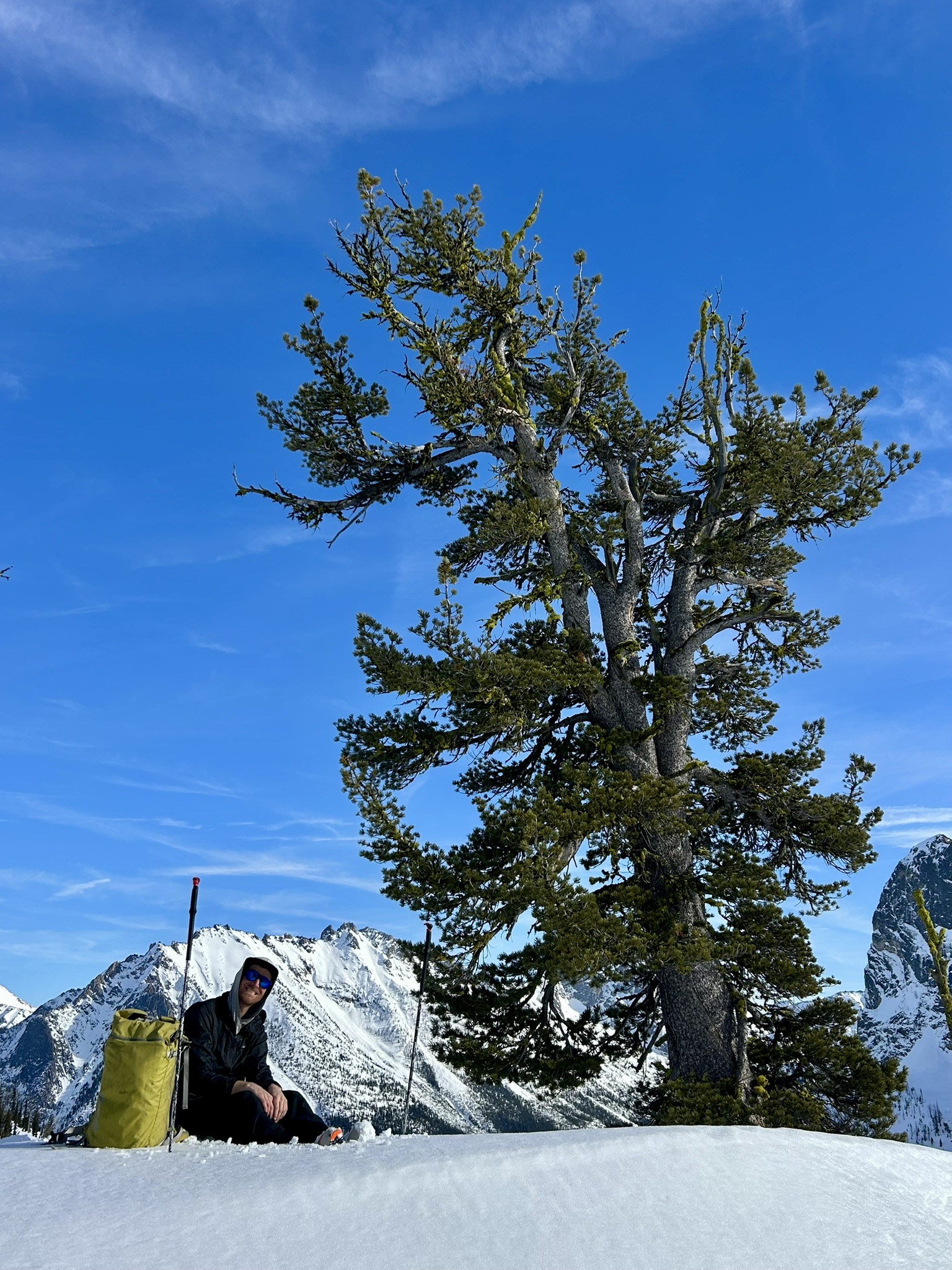

A Threatened Keystone Species
Whitebark pine holds the high country together. It stabilizes slopes, shades snowpack so it melts gradually into the valleys and farms below, and produces a fat-rich seed that grizzly bears, squirrels, and Clark’s nutcrackers depend on. The nutcracker is vital to caching seeds in the soil and planting the next generation of the tree that feeds it.
It’s now under pressure from four directions at once: white pine blister rust, mountain pine beetle, increasingly severe wildfires, and a shifting climate compressing the elevation band where it can survive. In December 2022 it was listed as threatened under the Endangered Species Act.
Which leaves an awkward question for anyone trying to save it: where is it, exactly?
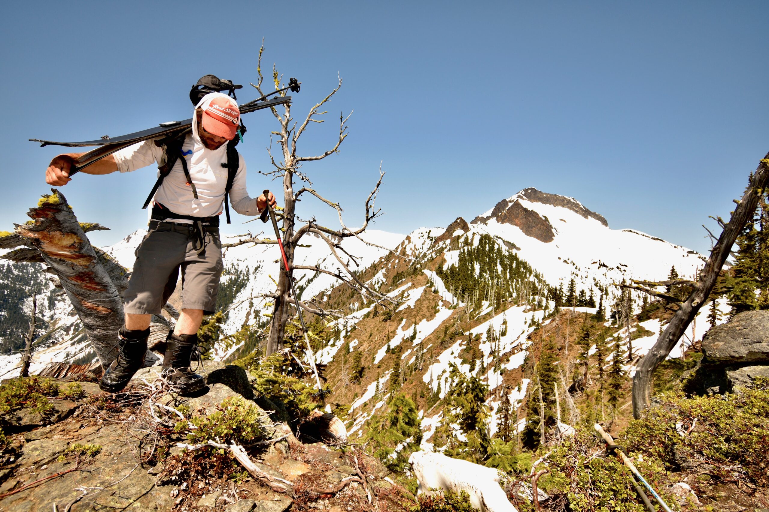
You can’t manage what you haven’t mapped.
Whitebark pine grows where it’s hard to go: above treelines, on exposed ridges, in terrain that needs skis and splitboards to reach most of the year. Agency crews are stretched thin and the summer access window is short. The result is a patchy picture of a species that needs a complete one.
 Adventure Scientists has partnered with the Whitebark Pine Ecosystem Foundation to close the gap differently: by training the people already going there.
Working with USFS botanists, silviculturists, geneticists, pathologists, and forest health staff, the partners adapted Forest Service monitoring protocols for opportunistic collection by skilled backcountry travelers. Volunteers must pass a scored assessment, carry a field manual, and confirm their skills before their data counts. More than 1,000 people have applied to date, and 60 of them are collecting valuable data right now.
So far, those volunteers have covered 1,390 miles on foot, on skis, and on splitboards across 15 national forests in Washington and Oregon; that’s more ground than the drive from Seattle to Los Angeles, and almost all of it is above 5,000 feet.
Four decisions that this data drives:

Where to Cage Cones
Volunteers record which trees are producing cones and where they stand, and Forest Service crews use those locations to direct climbing and caging. A caged cone matures into collectable seed. That seed becomes seedlings, and those seedlings become the forest our alpine slopes and wildlife need.

Where to manage the species:
USFS staff know where/how to manage the endangered species. It gets special monitoring and treatment, so knowing where it is directs USFS research and monitoring efforts.

Whether the habitat model is right:
The Forest Service maintains a model predicting where whitebark pine should grow. Volunteers have been trekking and comparing it against the mountain by recording the trees across 4,579 vertical feet, from a valley-edge stand at 4,947 feet – below the modeled band entirely – and up to wind-shorn krummholz clinging to a ridge at 9,526 feet. Every record tests where the tree actually grows rather than where a model expects it.

Where the species is already gone:
Volunteers have logged 580 trees; they’ve also logged 275 absence points. These are slopes where whitebark pine could be and isn’t. Confirmed absence is nearly as valuable as presence to a land manager, because it marks where a species that used to be has stopped being. It’s also the kind of data almost nobody collects, because finding nothing doesn’t feel like finding anything – but it’s actually critical.
Hard-to-Gather Data in Extreme Conditions
“Ask anyone in the western US and they’ll confirm it was a weird winter,” said Julie Tingley, a volunteer who documented her season. “Early snow, then an atmospheric river and massive lowland flooding, followed by no snow at all. It felt chaotic, and trying to survey regularly was a challenge, but it was actually really fun to get out in less-than-excellent conditions and still get into whitebark pine terrain.”
Inconsistent snowfall, irregular temperatures, and thin snowpack are exactly the conditions putting pressure on the species. There’s a bleak symmetry to that: in a project designed to document how a changing climate affects a threatened tree, the main obstacle to fieldwork is that same changing climate.

Conservation solutions require people that are willing to be uncomfortable. Robert, who homeschools his kids, brought them along: “Getting above 5,000 feet in the winter was a challenge. The snow came in hard in the afternoon and we were all pretty frosty.”
The work also changes the people doing it. “I started noticing the diseased lodgepole trees turning red across the mountain,” said Allegra, a volunteer in Washington. “I started noticing the young whitebark and the age distribution of the trees on the mountain. I started thinking about insects, birds, and the topography of our mountain and how they are all connected.”
“We are so thrilled with the whitebark pine data collected by Adventure Scientists volunteers. [We] will use this critical data to build a shared database that keeps vital information accessible to the agencies and organizations working to conserve and restore this keystone species.”
Driving Impact & Solutions
We are creating a living record that a land manager in Oregon and a researcher in Washington and a restoration crew three years from now can all pull from when they need to decide where to put their efforts.
Right now this work covers Oregon and Washington. Next, the rest of whitebark pine’s range, carried there by the same volunteer network.
A ski tour becomes a map point becomes a caged cone becomes a forest.
You Can Support This Work
Whitebark pine’s range runs from California to Wyoming to British Columbia. If you manage land, study this species, or fund its recovery in country we haven’t reached yet, let’s talk about tracking your whitebark pines.