A Puyallup River Journey
Photos and Writing by Ken Campbell
ASC Microplastics Adventurer
ASC Microplastics Adventurer
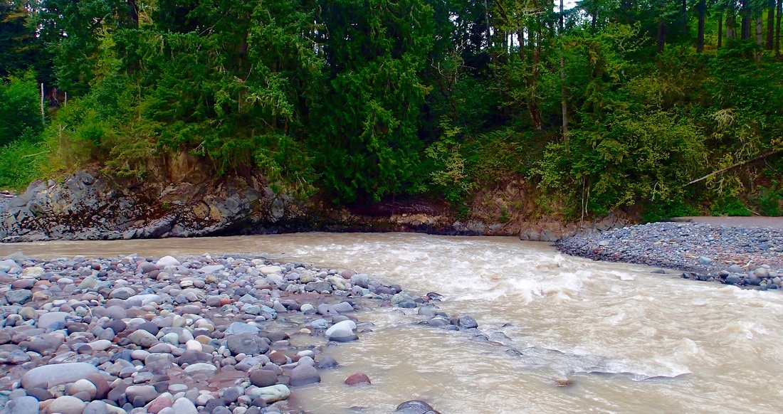
I don’t know my watershed as well as I thought I did. Although I sit on a local environmental education committee and work on projects for the Puyallup Watershed Initiative, I lack a solid understanding of the route of the river and the wilderness, farms and communities that line its banks.
So I’ve decided to travel the length of the river, from its source on the western flanks of Mount Rainier to its confluence with Puget Sound.
|
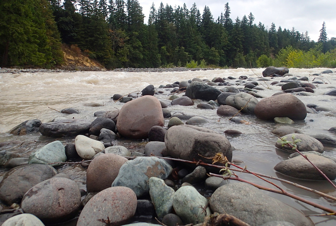
I’ll be taking an up-close look at the Puyallup, from its first drops off the glacier’s edge to the salt waters of the Puget Sound. Traveling with friends via mountain bike, on foot and by canoe, I will explore the health of the river and the changes that this time of low water has brought with it.
|
A river is the report card for its watershed.
Alan Levere |
This year in Washington, it’s all about the water, or more precisely, the lack thereof. Is the 5 percent snowpack level in the Cascades going to be the new normal that comes with climate change? How will it impact farmers, climbers, salmon and those others who depend on the river? This is a story of receding glaciers, lower-than-average rainfall and summer temperatures that are continually breaking records.
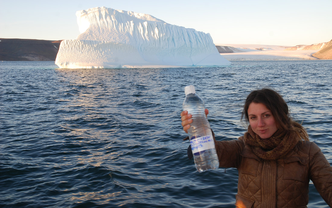
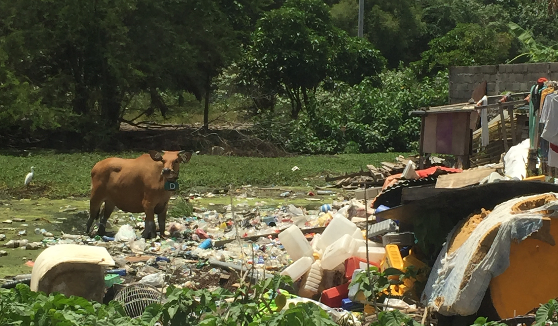
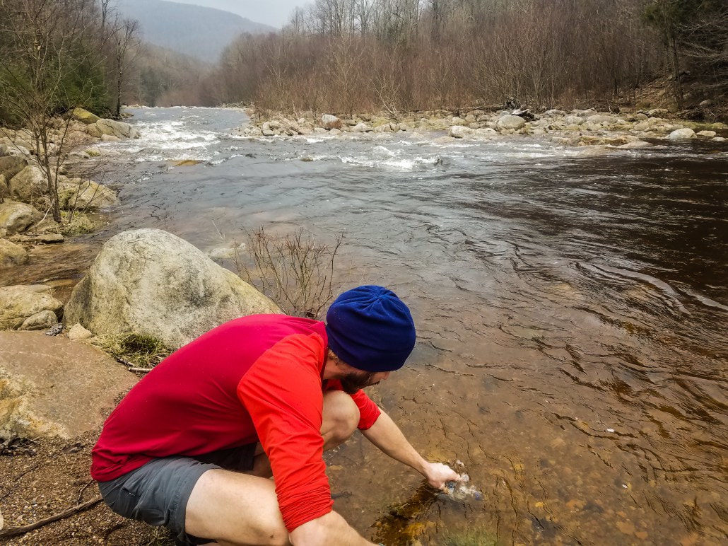
As has been the case on my previous expeditions, science and data collection will be integral. I will be sampling for the ASC Microplastics Project in several locations along the river, as well as conducting stream surveys to document the amount of plastic waste present. Eighty percent of marine plastic debris comes from sources on land and much of that begins higher up in the watersheds. These efforts will help to raise awareness of some of the sources of plastic pollution and how we can begin to address the issue of our environmental impact.
The distance is about 50 miles, and although I don’t yet know the lessons the river will teach me, I expect to come away from this adventure with a greater understanding of this part of my world.
The distance is about 50 miles, and although I don’t yet know the lessons the river will teach me, I expect to come away from this adventure with a greater understanding of this part of my world.
Learn more by watching Ken’s video about the path of the Pullayup River: