
California Biodiversity
California has committed to protecting 30% of its land by 2030, but much of what lives there has never been counted. Thousands of volunteer-collected soil and insect samples are now filling that gap in the state’s biodiversity inventory
See the resultsResults
Statewide data from places researchers rarely reach



The quality of the samples are good... We were able to reach such a broad geographic scope across California, so it really wouldn't have been possible without all of those community scientists going out and collecting soil for us.Ajith Seresinghe, University of California, Santa Cruz
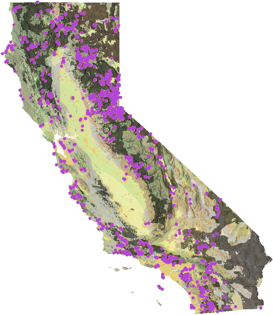
Where volunteers went
Off the trail and up the 4x4 roads
Volunteers chose from designated sample sites across the state. Many sat on Bureau of Land Management parcels and national forests, where reaching the pin meant high-clearance roads, creek crossings, or long hikes in.
At each site, volunteers logged the sample in Survey123 with photos and a barcode scan, then shipped it straight to the lab that would analyze it. Lab partners checked every sample against its field record before analysis.
- Amargosa Desert
- Northern Sierra Nevada
- Santa Lucia Range
- Venturan-Angeleno hills
- Southern California mountains
From trail to lab
Every sample has a destination
- 1Adventure Scientists volunteers
Collect
Soil and insect samples from designated sites, logged on location with photos and a barcode scan.
- 2UC Santa Cruz
Sequence
Extracts environmental DNA from each soil sample and adds it to a statewide soil biodiversity archive.
- 3Natural History Museum of LA County
Identify
Sorts and identifies the insects, including rare finds that take many eyes in the field to catch.
- 4California Institute for Biodiversity
Inventory
Brings results into the California All Taxa Biodiversity Inventory, a baseline for conservation planning.
Why it matters
Conservation needs a baseline
California is one of the most biodiverse places on Earth, and it has committed to conserving 30% of its lands and coastal waters by 2030. Choosing which places matter most starts with knowing what lives where.
For insects and soil life, the fungi, nematodes, and bacteria that hold ecosystems together, much of that baseline is missing. Wildfire, drought, and a growing population are changing these places now, which makes the gap more urgent to close.
How volunteers collected
Two protocols, one standard
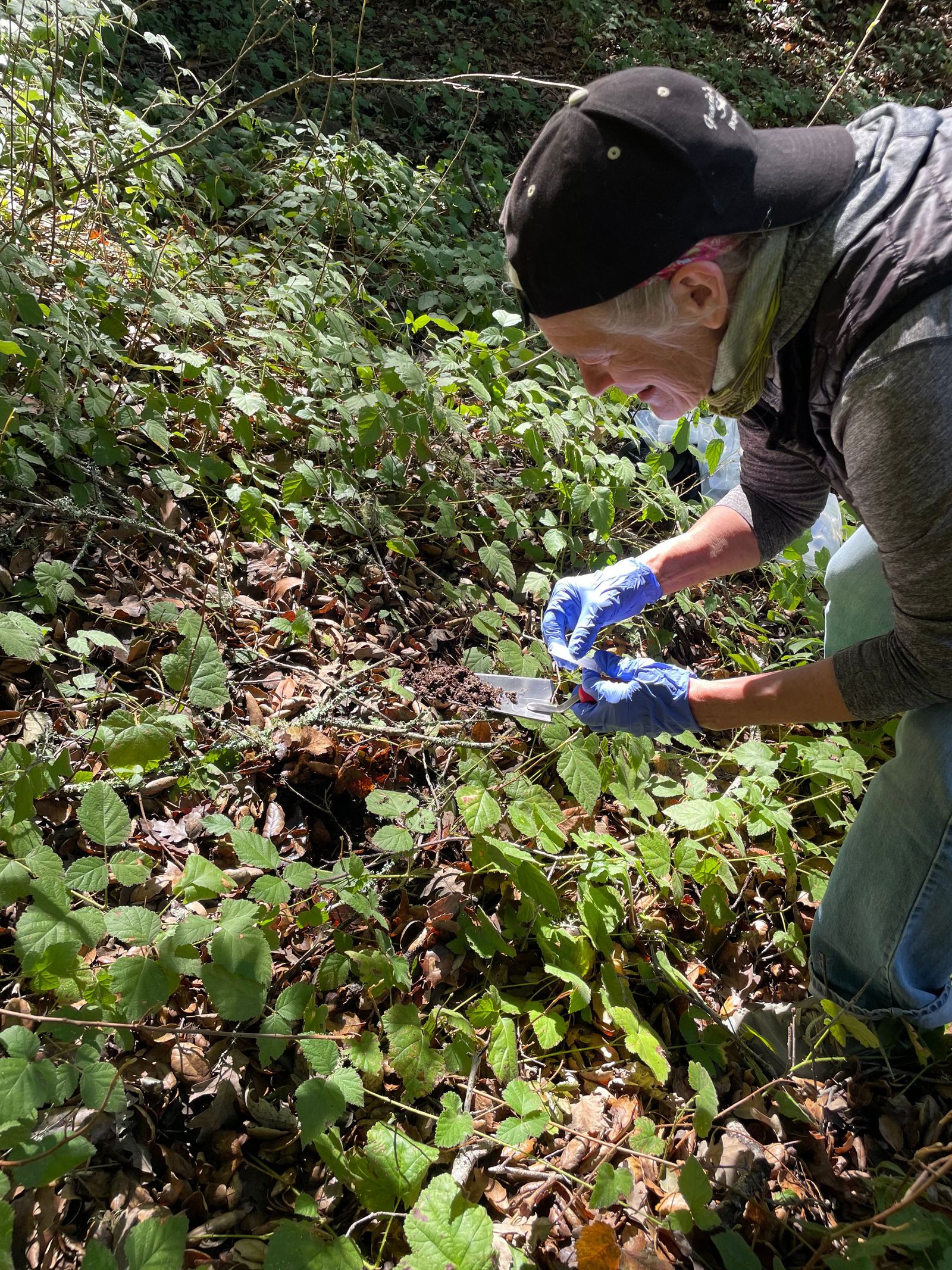
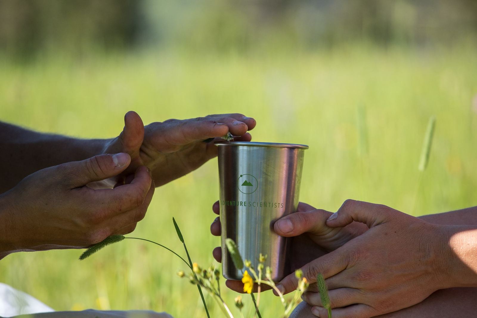
Volunteers completed online training and a knowledge check before heading out, with Adventure Scientists staff supporting them throughout. Every sample followed the same protocol, so a vial from the desert can be compared with one from the high Sierra.
Soil samples
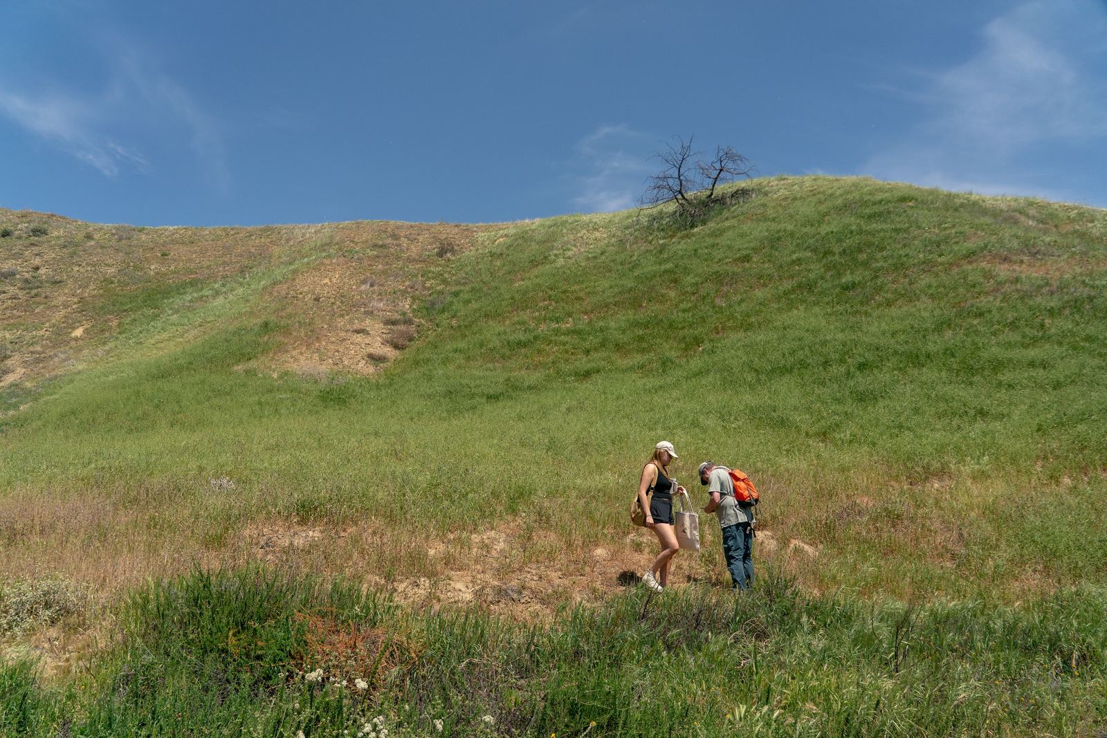
Collected at designated sites, scanned into Survey123, and photographed so labs could verify every record.
Insect samples
Swept from vegetation, preserved in the field, and logged the same way, vial by vial.
What is eDNA?
Every living thing sheds DNA into the soil around it. Environmental DNA lets scientists detect fungi, bacteria, nematodes, and insects from a vial of soil, without collecting live specimens.
In the lab, researchers extract that DNA, copy short barcode regions, and sequence them. The result is a record of what lives in each place that can be compared across elevation, habitat, and wildfire history, and that can point to species science hasn't described yet.
Trusted data from hard-to-reach places, collected by the people who explore them.
“We have hit most of the available ecoregions, and a lot of that's come from the Adventure Scientist samples, so they've really helped fill in those geographic gaps that we desperately needed.”Austin Baker, Natural History Museum of Los Angeles County
“As I was planning my kayaking adventures, I looked for places that also had the opportunity to collect samples. My friend Vlad (in the picture with me), and I are paddling buddies and this project gave us the opportunity to do what we love and contribute to the project as we took a break for lunch. Anytime I plan a kayaking trip, I now look for ways to be involved with scientific research.”Darrel R., Volunteer
Field day hosts
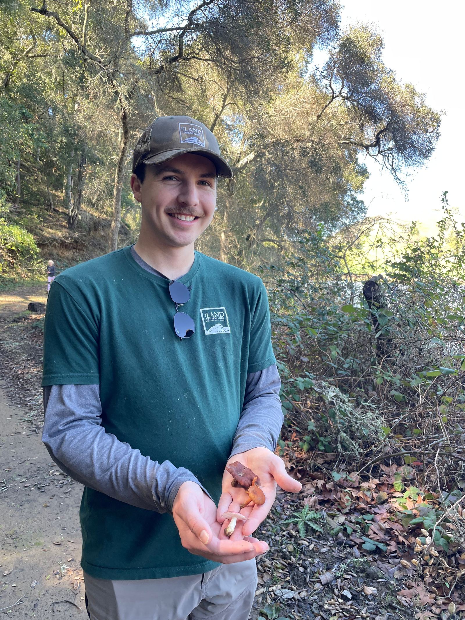
Conservation groups that brought their communities into the field
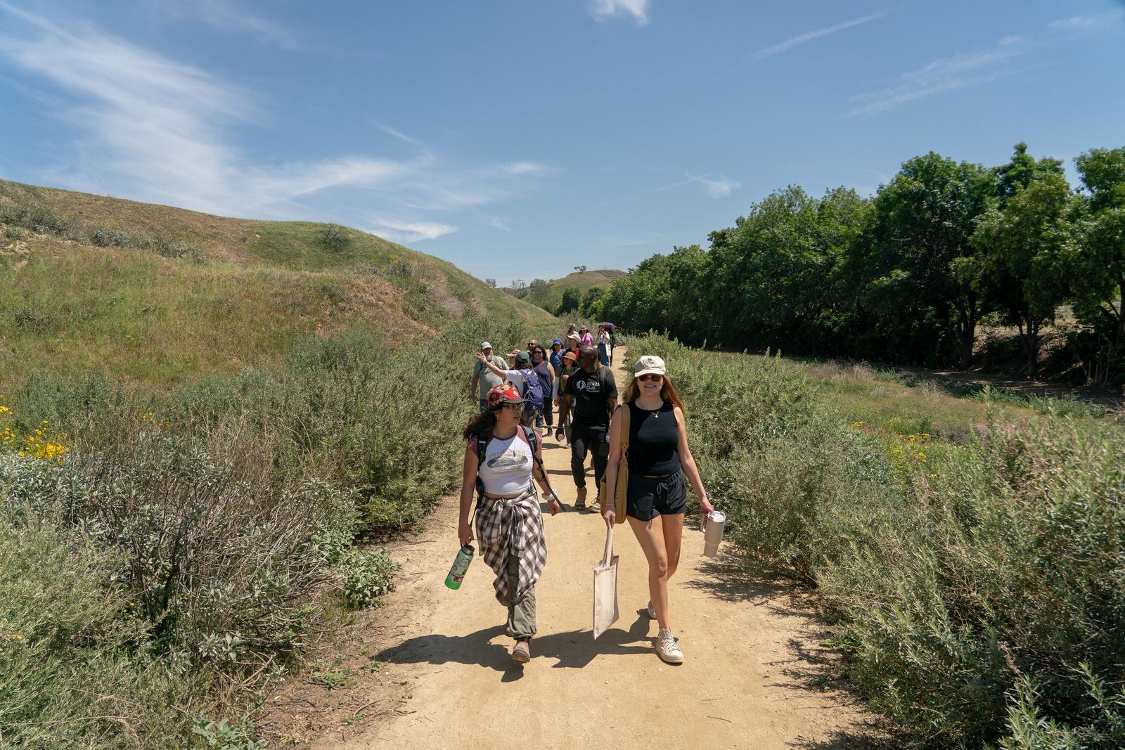
Land trusts, conservancies, and outdoor groups across California hosted volunteer field days on the lands they steward, opening their sites and networks to the project.



What happens next
From samples to decisions
Lab analysis is underway. As results come in, they join the California All Taxa Biodiversity Inventory, a statewide baseline that can help inform conservation priorities, including where California works toward 30×30.
Request the data- A soil biodiversity archive at UC Santa Cruz drawn from 112 ecoregions
- Comparisons of what lives where across elevation, habitat, and wildfire history
- Leads on fungi and invertebrates not yet in museum collections
- Geographic gaps filled in the statewide inventory
In the news
Project press
Thank you.
To the volunteers who carried trowels and sweep nets across California, the partners who opened their lands and labs, and the funders and supporters who made this work possible.
Partners and supporters
Made possible together
- California Institute for BiodiversityProject partner
- University of California, Santa CruzSoil eDNA analysis and archive
- Natural History Museum of Los Angeles CountyInsect identification
- Stillwater SciencesScientific partner and project coordination
- Play Forever FoundationProject funder
- Our donors and supportersWho invest in science-driven conservation
- AllTrails
- MiiR
- Osprey
This project was conducted across the ancestral lands of California's Indigenous peoples. We acknowledge their enduring presence and the generations of stewardship over the lands and species documented here.
Follow what the data reveals
Get new volunteer projects, news from the field, and updates as lab results from California Biodiversity come in.