WILD AND SCENIC RIVERS
TRIP PLANNING RESOURCES: MAPS AND MORE
How to Navigate This Page
- Section 1 provides a map with data collected for the project, locations for sampling, and rivers in this project.
- Section 2 includes coordinates for specific sampling locations (required) and optional additional mapping resources that you may find helpful.
Section 1: Project Overview Map
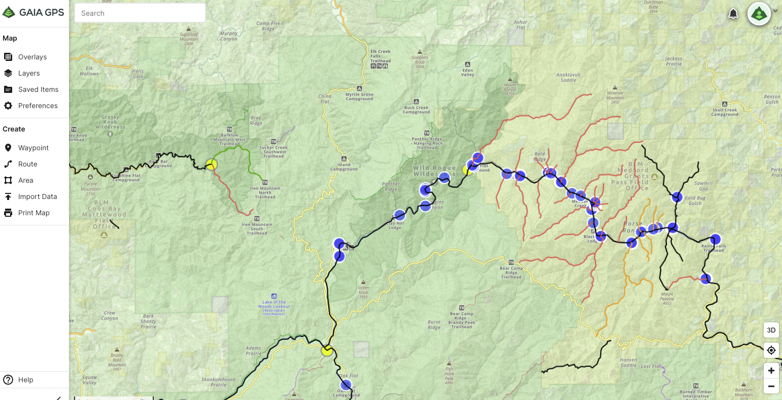
Use the map below to see river statuses for Wild and Scenic Rivers and sign up for the reaches you would like to sample. In 2022, we are prioritizing rivers colored red and orange (unassessed/unknown statuses), especially the rivers highlighted in yellow. Blue droplets indicate where volunteers have collected data for the project. Yellow diamonds (zoom in) indicate specific sample locations requested by management agency partners.
Section 2: Sample Locations
The river reaches you sample may already have established sampling locations set by previous volunteers or requested by agency partners. In the training, we offer instructions on how to plan your sampling expedition to collect data at these established and requested locations.
You can add these locations as a map layer in GaiaGPS. If you have
Make sure you complete “Technology Before Adventure” in the training to learn how to use the resources described below.
Yellow markers indicate specific locations where our agency partners have requested data. Blue markers indicate where previous volunteer teams have sampled. Sample as close to these markers as possible. The river data status (impaired, unknown, etc.) is also visible so that you can verify you are sampling in the correct stretch of river.
Follow the link in the button below, click “Add to My Map Sources” in the upper right.
When you are using GaiaGPS to plan your trip, make sure to toggle the “WSR Data Layer” to the “on” position to see the layer.
We recommended trip planning and completing the steps above on your computer rather than smartphone.
If you know you prefer to use a different navigation App, not GaiaGPS, you can. Reach out to us for a file with the necessary coordinates.

Extra Resources
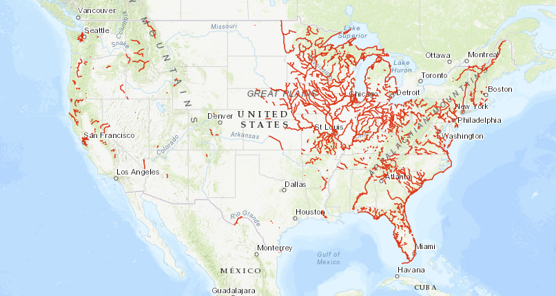
OPTIONAL: The resource linked below shows the entire Wild and Scenic Rivers network and includes information on put-ins, take-outs, and other access points.
The resource was created by the National Rivers Project, a result of partnerships with federal managers, state agencies, municipal governments, non-profits, local paddling clubs, and individuals.

