Uinta Carnivore Survey

Providing a snapshot of the species biodiversity in the Uinta Range

Running Wild, a film by Danny Schmidt and National Geographic, documents trail running volunteers as they monitor camera stations targeting wolverine and lynx in Utah’s Uinta Mountains.
We are honored to have won the 2016 Partnership Award from the Public Lands Alliance for the Uinta Carnivore Survey. The Partnership Award celebrates the best in public lands partnerships, recognizing individuals, organizations, publications, products, programs and services that embody leading edge achievements in the preservation of public lands and the enrichment of visitors.
The Uinta Mountains are a place of superlatives: This is home to Utah’s highest peak, its largest wilderness area, and the tallest east-west mountain range in the lower 48. With extensive alpine high country and more than 1,000 lakes, it hosts wildlife including bighorn sheep, black bear and mountain lion.

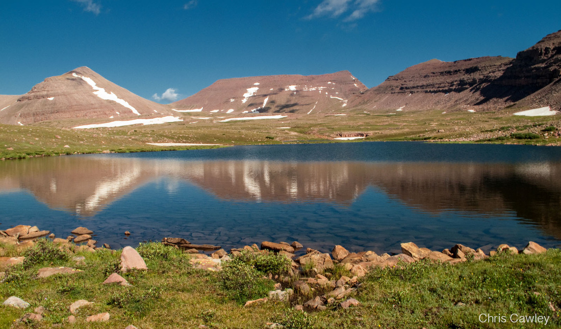
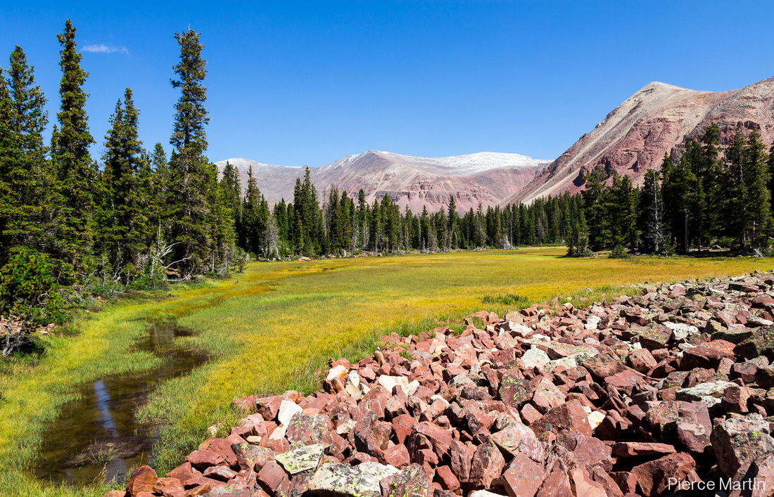
Less than 100 miles from one of America’s fastest growing urban areas, the Uintas are also the backyard for more than a million people.

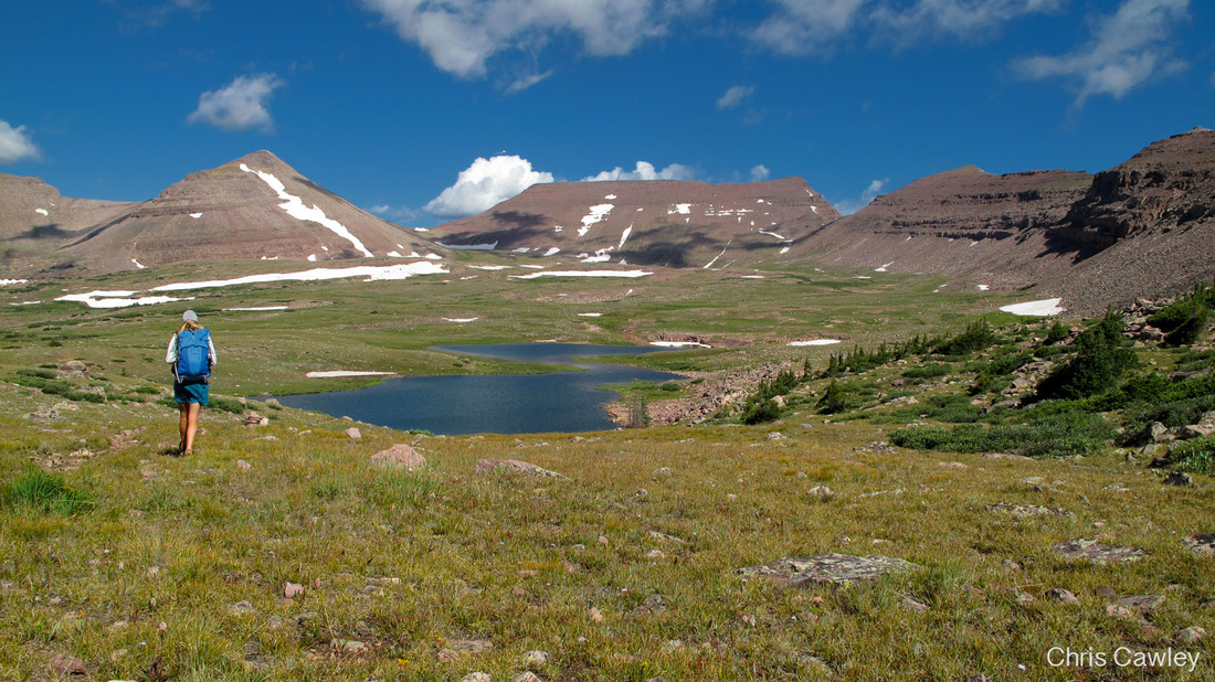
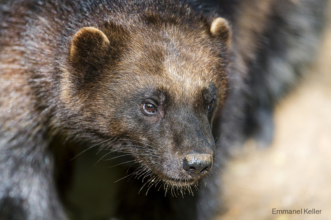
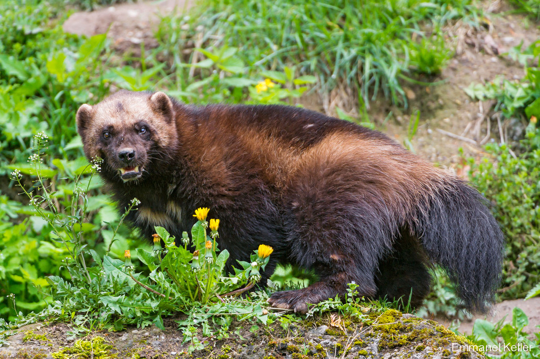
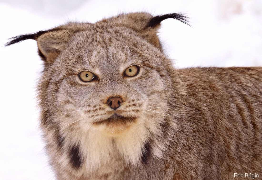
In summer 2015, following the 50th anniversary of The Wilderness Act, Adventure Scientists ran a project in partnership with the Uinta-Wasatch-Cache National Forest to survey for wolverine and lynx deep in the High Uintas Wilderness.

Little current data existed about the abundance of these rare carnivores across the Uintas. To help fill this gap in understanding, Adventure Scientists managed a dedicated corps of outdoors people from the surrounding area.

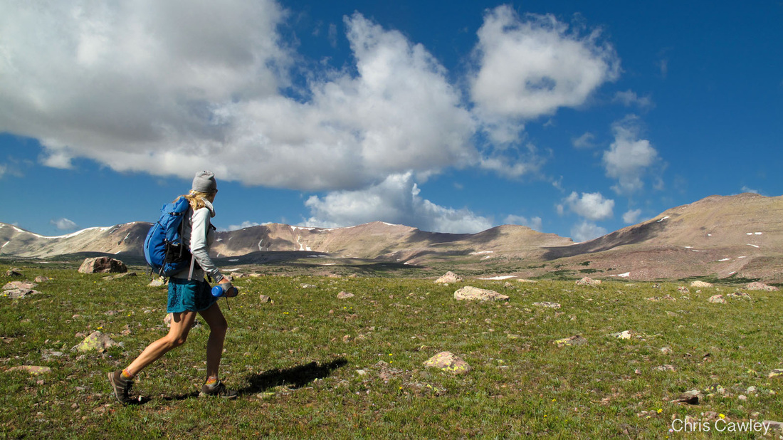
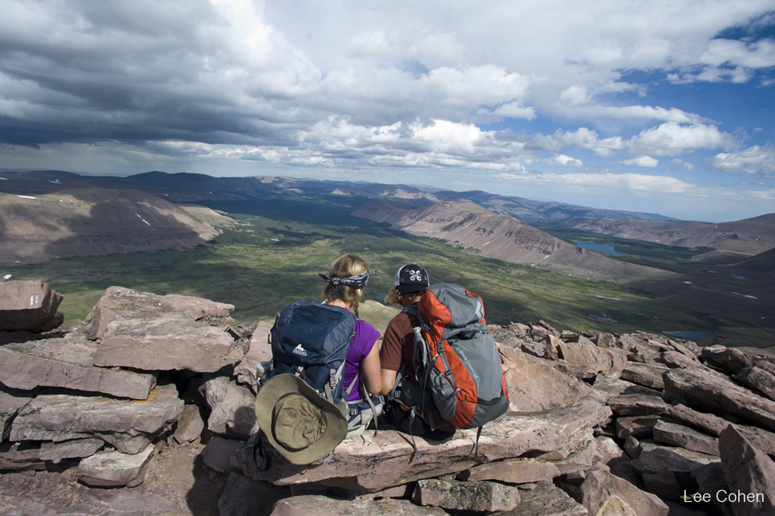
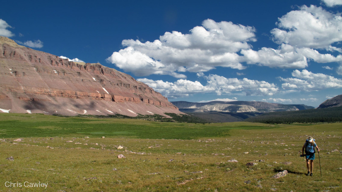
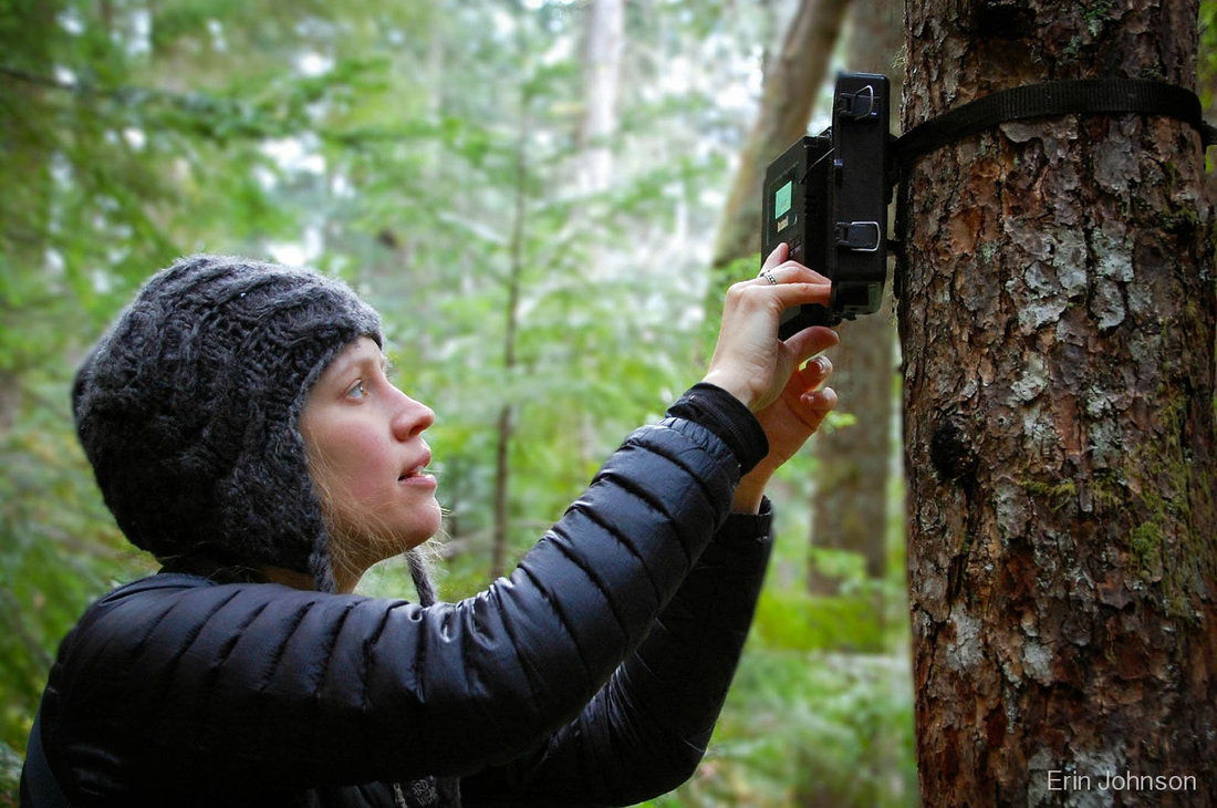
After two weekends of backcountry training, this volunteer survey crew managed 30 baited, motion-activated cameras in more than a dozen drainages on the range’s remote north slope. Crews checked their two assigned camera stations once a month through late September. Accessing sites required long car-to-car day hikes or overnight backpacking trips.

With more applicants than openings, Adventure Scientists selected the crew on the basis of outdoor competence, previous volunteer commitments and an ability to make five outings to the Uintas between June and October. Crew members received training in camera trapping, GPS use and digital data collection using smart phones and tablets.

This project was supported by the National Forest
Foundation.

In the News

Read More on our
​Field Notes Blog

Overview map of the Uinta Range and the surrounding area. The project took place north of the crest, in and adjacent to the High Uintas Wilderness.